Stolin is a town, 250 km east of Brest, Belarus. It is the administrative center of one of the 16 districts in Brest Region. Its population is 12,500. Stolin grew up at the heart of the Polesie region on the Goryn (Haryn) River, at the crossroads of two important routes, one leading northwards to Pinsk, the second eastwards to Davyd-Gorodok and Turov, that are now in Belarus, the third southwards to Sarny and Kiev, that are now in the Ukraine.
The Belarusian-Ukrainian border is about 15 km away. Thus, Stolin is
now a border town that hosts many Ukrainians on the market days.
Russian speech is common here, but villagers prefer their
numerous dialects that are akin partly to Byelorussian, partly
the Ukrainian language.
Archaeological evidence suggests that the area which Stolin now
occupies, was settled as far back as the 12th century AD.
However, the
oldest available record about Stolin dates back to 1555. It was a thriving
trading center on the Goryn River, protected by a castle
that has not survive. The castle, being on the cliff-like steep
riverbank, was fortified by the river on the the
southern side and by moats on other sides. In the course of time
it was the residence of various nobility. In the 20th century
the moats were filled up. Today it is a part of the urban public
park in the town's center.
There are several legends regarding the origin of the name "Stolin". One legend says that a group of fishermen once cast their fishing nets into the river and pulled out the nets with 100 tenches (a freshwater fish). To mark the wonderful place, they called it Stolin, putting together 2 Russian words: "sto" (one hundred) and "lin" (tench). Another legend refers to a ferry which sunk in the river. 100 men had to drag it out, using 100 ropes. Again 2 words could have originated the name: "sto" (one hundred) and "lina" (rope). The most probable legend narrates about twelve brothers who once ruled the area and used to meet here to discuss their affairs at table, and "Stolin" could derive from the word "stol" (table). In Russian the adjective "stolny" or the noun "stolitsa", both relating to a capital city, also derived from the same word "stol".
Today's Central Square is close the place of the former market on the river bank, where 3 roads meet: Goryn St. leading to the railway station Goryn (5 km to the west), Pinsk St. leading to Pinsk (60 km to the north), Sovietskaya St. leading to Davyd Gorodok (40 km to the east).
There are two parks in Stolin. One in the central part is relatively new and looks quite modern after the reconstruction before Dozhynki 2008, the other park is much older. It is located on the eastern outskirts of the town in Mankovichy. it was laid out by a very rich Lithuanian family of Radziwill in 1885. A flamboyant summer residence was standing in the park with a nice vista on the riverside from a steep bank. In the 1930s, the family paved the road to the railway station in Goryn and some streets in Stolin with "trylinka".
Once Stolin was lying along the Goryn River. Today only the old park in Mankovichy lies on the Goryn River, by the confluence of the Kopanets River, that is rather a creek. As a mater of fact, this river was once the old course of the Goryn River. In the course of time the Goryn shifted 2 km southwards.
The town occupies 11.2 sq. km.
 |
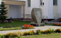
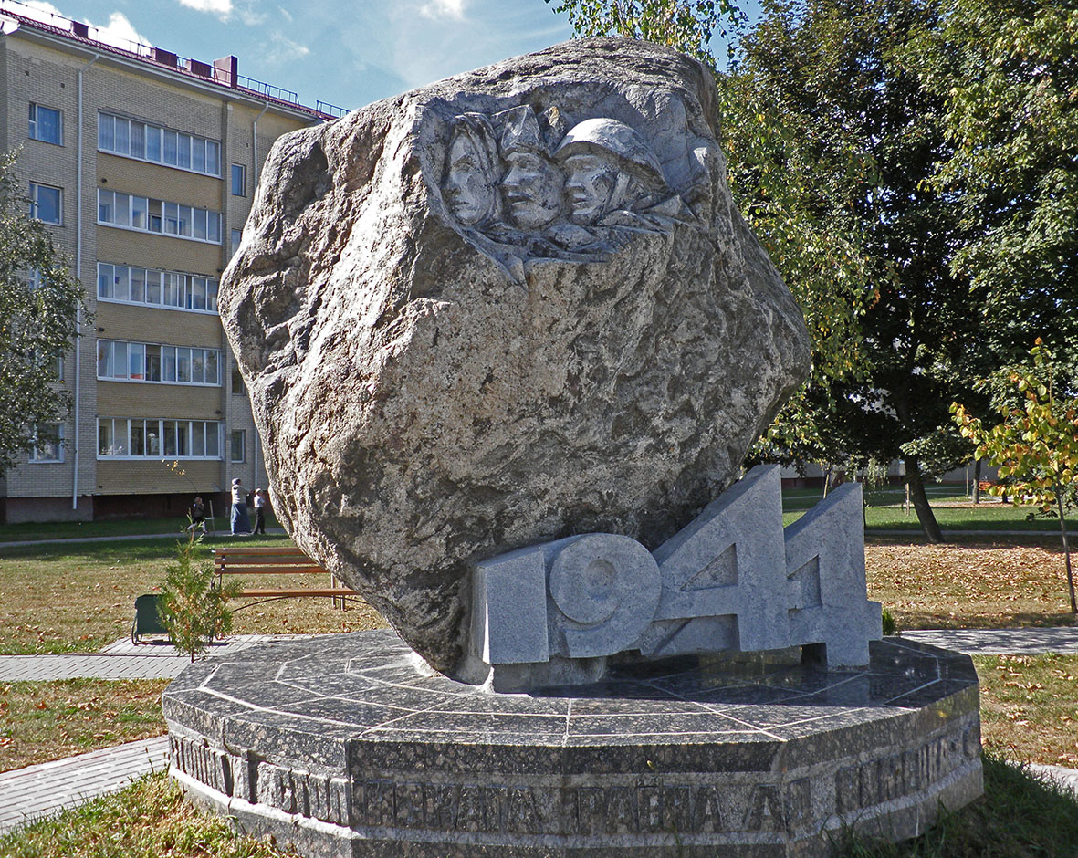
This monument in the Central Square commemorates the first record about Stolin dating back to 1555 |
|
 |
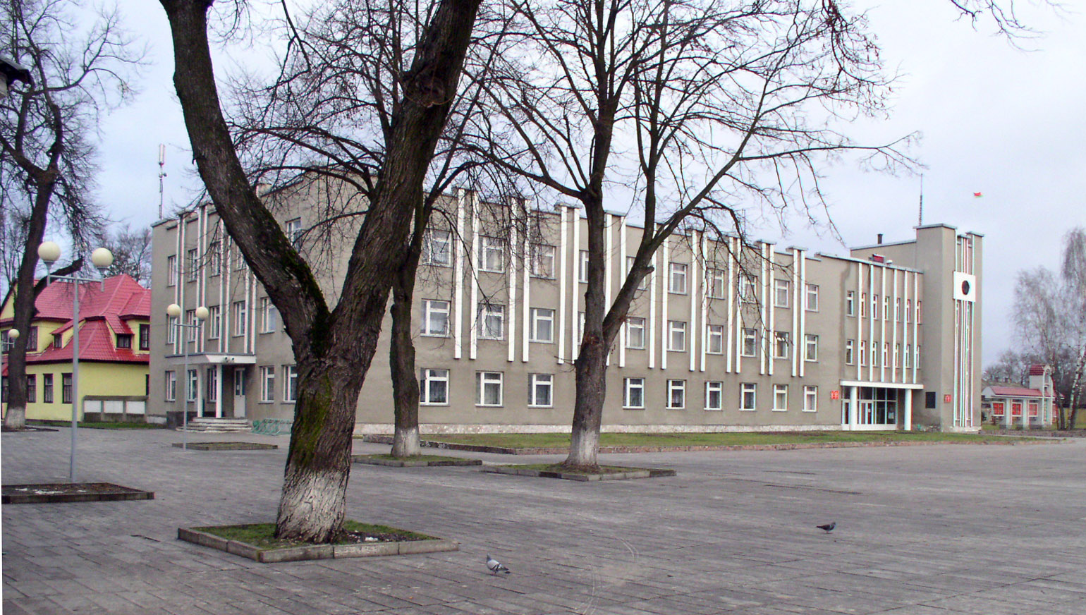
The panorama of the southern side of the central square with the House of Culture in the center. more Here by the Old Market the roads have been intersecting for ages. |
|
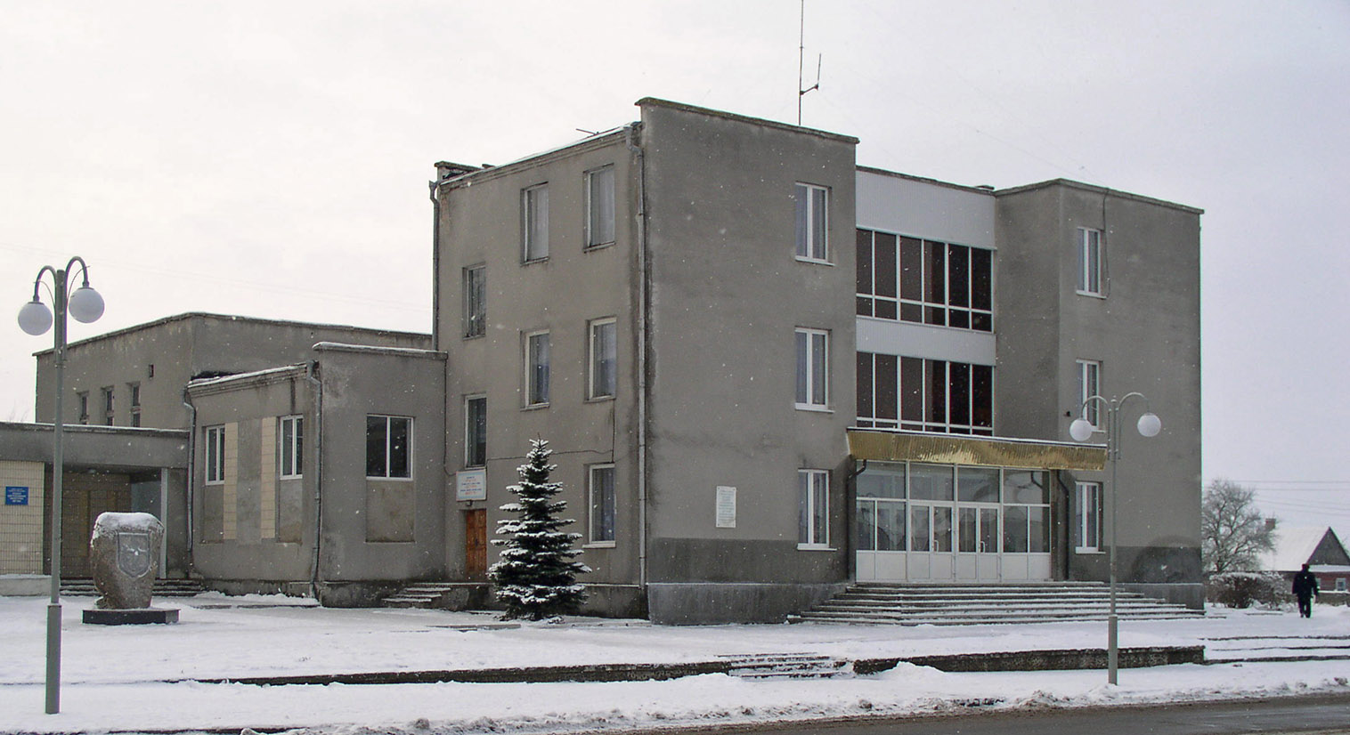 |
the House of Culture was built in the 1960s and rebuilt in the1980s. | |
|
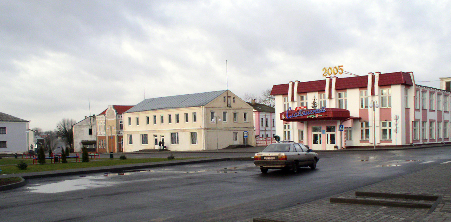
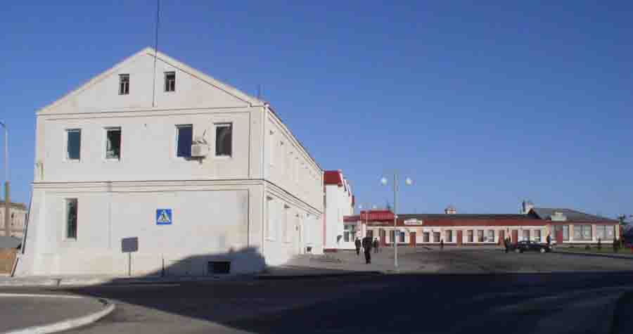
The panorama of the northern side of the Central Square with the 2-storied bar under a red roof (former department store). It was constructed after the war. The buildings to the left of it were constructed before the war and rebuilt after the war. | |
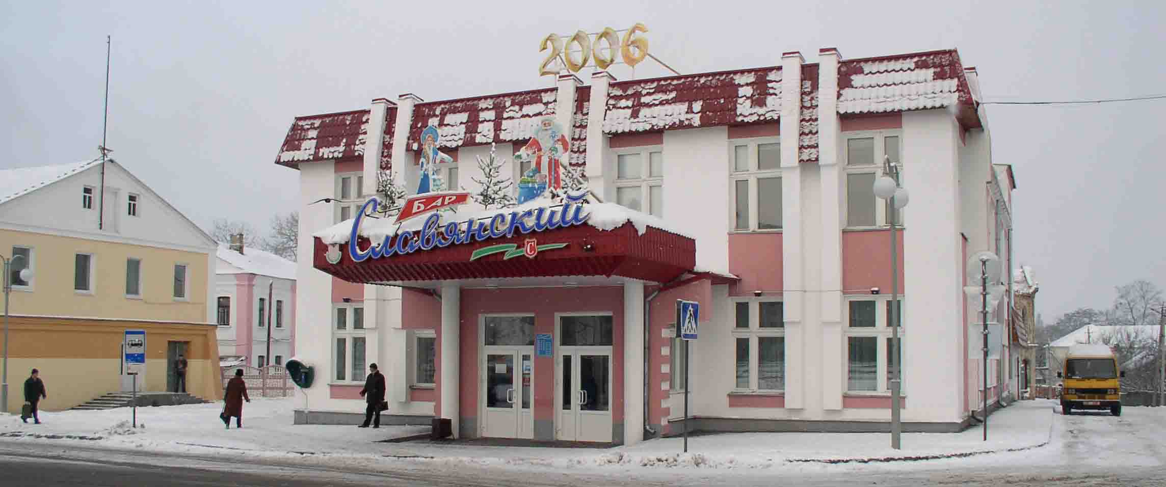 |
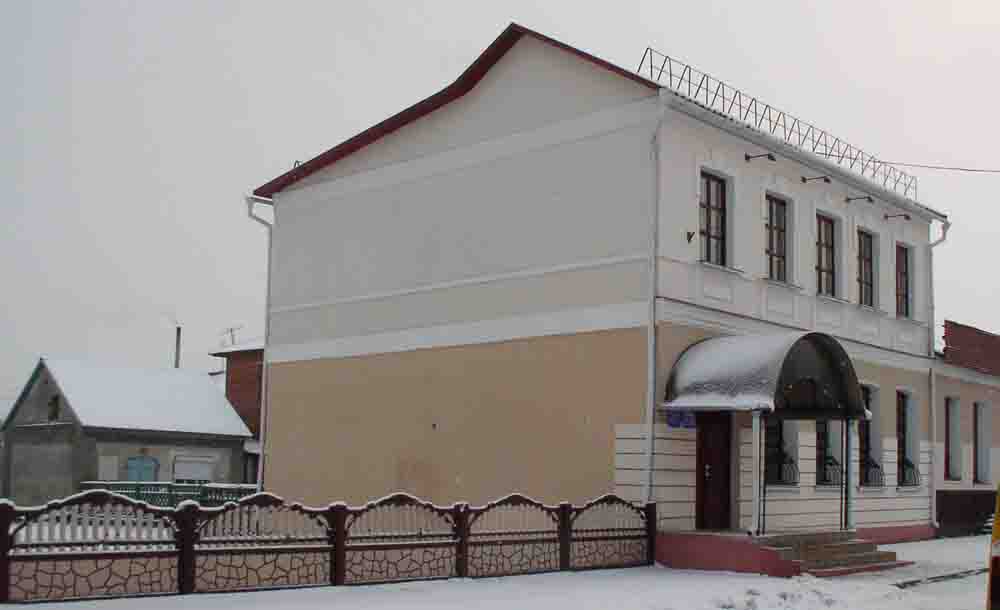
The bar in winter lures passers-by | |
 |
The houses to the right of the bar were constructed before the war. To the left of the bar there is a narrow street. | |
 |
The view from the narrow street. The Bar is to the right now and a prewar 2 storied house is on the left | |
 |
The pre-war residential 2-storied building was rebuilt several times. A room in the ground floor was a bus station in the 1950s. Later it was a private photographer's shop that was quite rare in the days of Soviet power. Now it houses an insurance company. | |
 |
The Bar is to the left. Next down the street you see the walls of oldest building in Stolin, the former synagogue, dating from the late 18th century. | |
 |
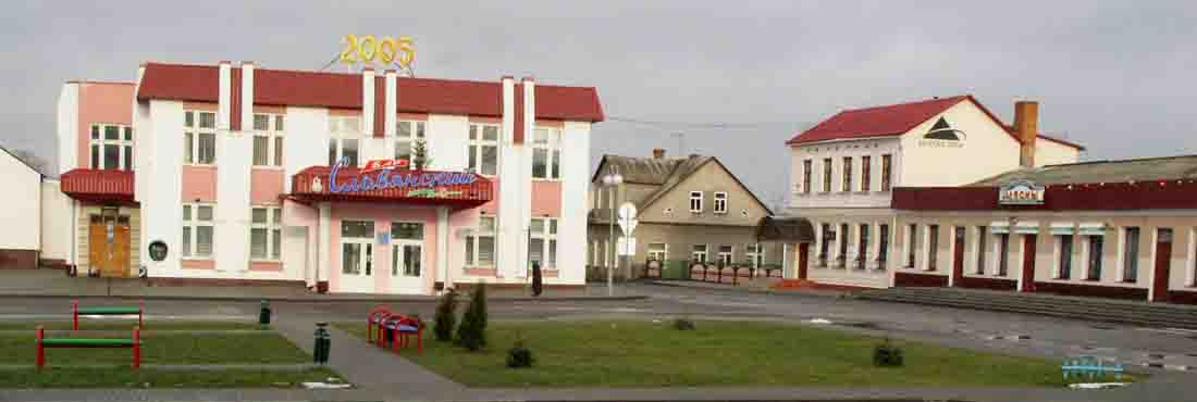
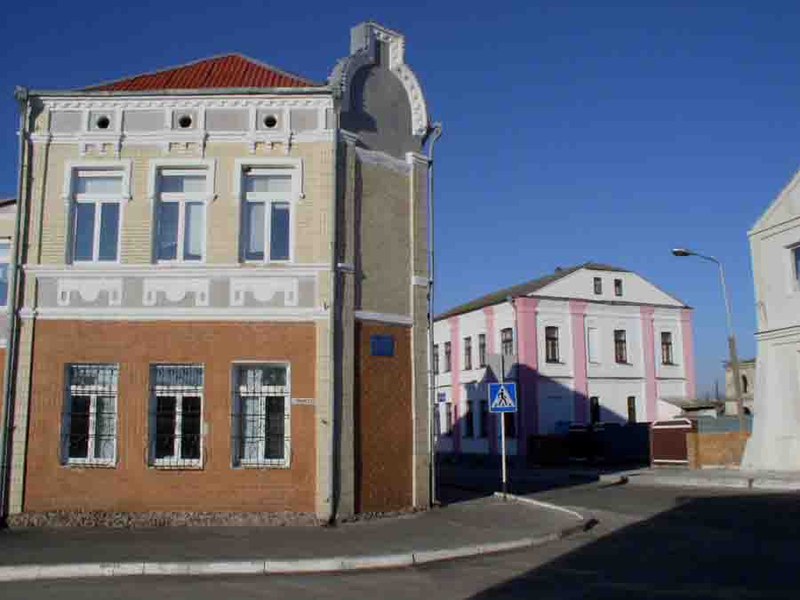
The panorama of the Central Square, viewed from the western corner of Goryn St. and Pinsk St. The 2-storied building houses a trading company. | |
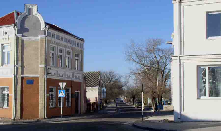 |
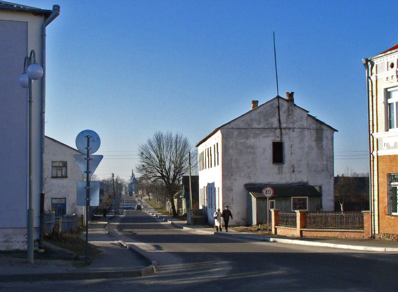
This road, running north of the square, is leading to Pinsk. A view from the square close to a corner of Goryn St. and Pinsk St. more | |
 |
The prewar
structures at the corner of of Goryn St. and Pinsk St. After the war (left) it was the telegraph and telephone station of the district, (right) a post-office till the 1990s. |
|
 |
This road, viewed westwards from the Central Square, is leading to Goryn and further to the Ukraine. The Russian church is seen at the distance. | |
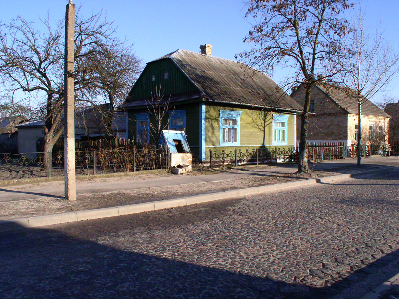 |
Pinsk Street starts from the Central Square and runs northwards. It is paved with massive "trylinka". The pavement was laid in the 1930s, saw many troops marching along, including German panzers and Soviet tanks, yet it remained intact. | |
 |
The new bus station of Stolin is in the northern end of Pinsk Street | |
 |
This is Sovetskaya Street. It starts from the Central Square and is running on eastwards to Davyd-Gorodok. more | |
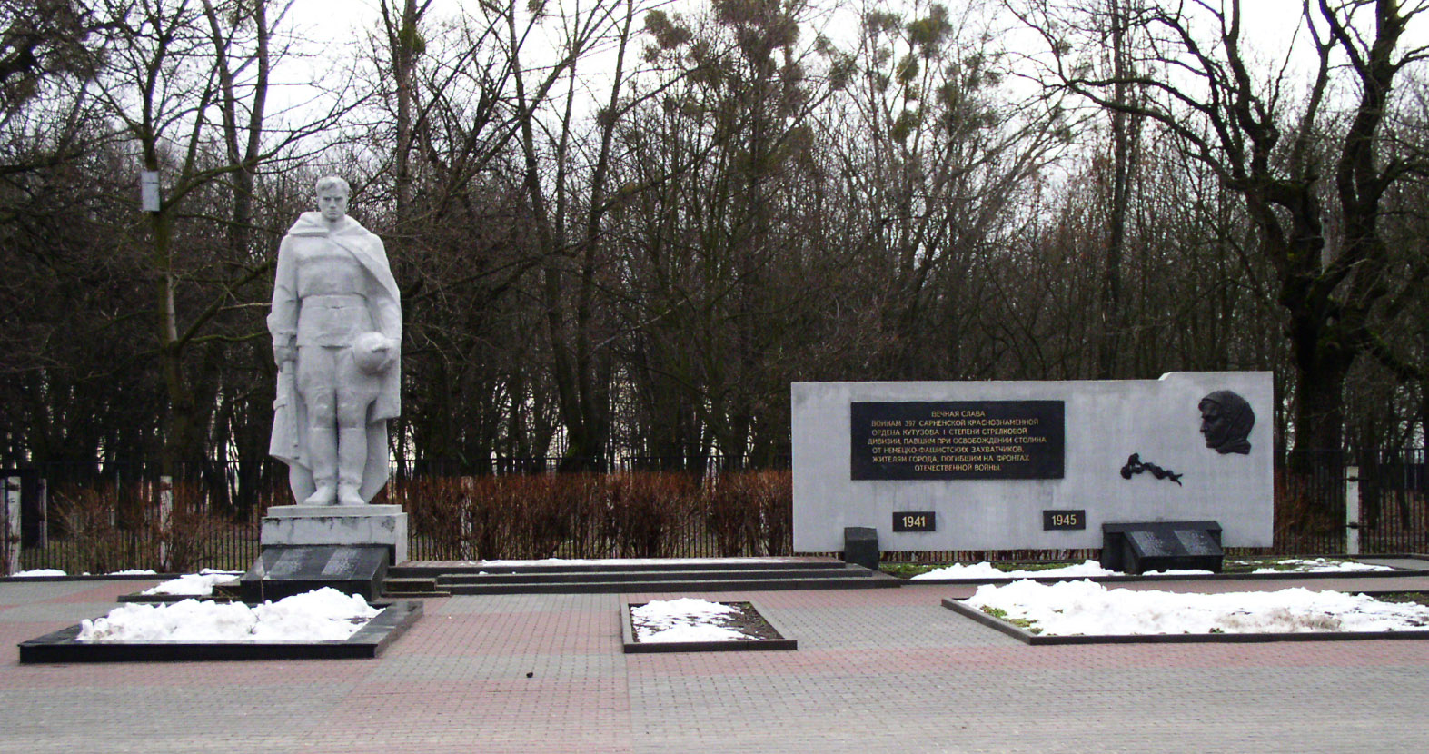 |
the war memorial at the entrance to the modern town's park | |
 |
The monument commemorates the liberation of Stolin in July 1944 | |
 |
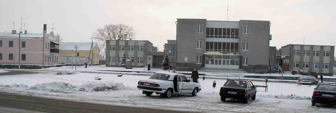
The building of district administration before its reconstruction in 2008 | |
 |
Goryn Hotel before the reconstruction in 2008 | |
 |
The department store in Lenin Street before the reconstruction in 2008 | |
 |
In the city park before the reconstruction in 2008. Today you will not see the statue of a boy with a roe-deer. | |
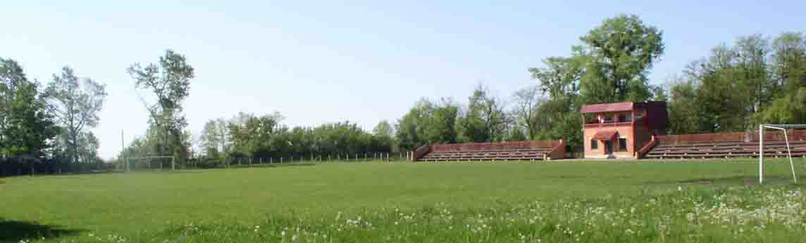 |
The stadium in the town's park before the reconstruction in 2008 | |
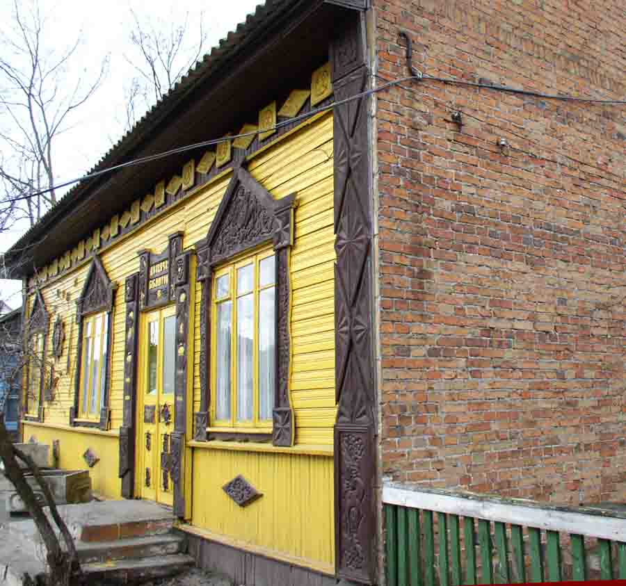 |
The library for children before the reconstruction in 2008. This old pre-war red brick structure that was nicely decorated with wooden carvings, was pulled down in 2008 | |
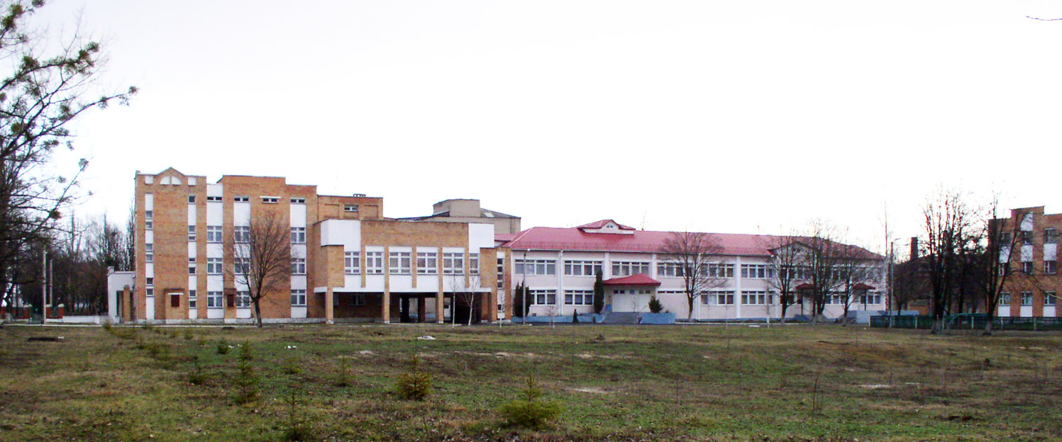 |
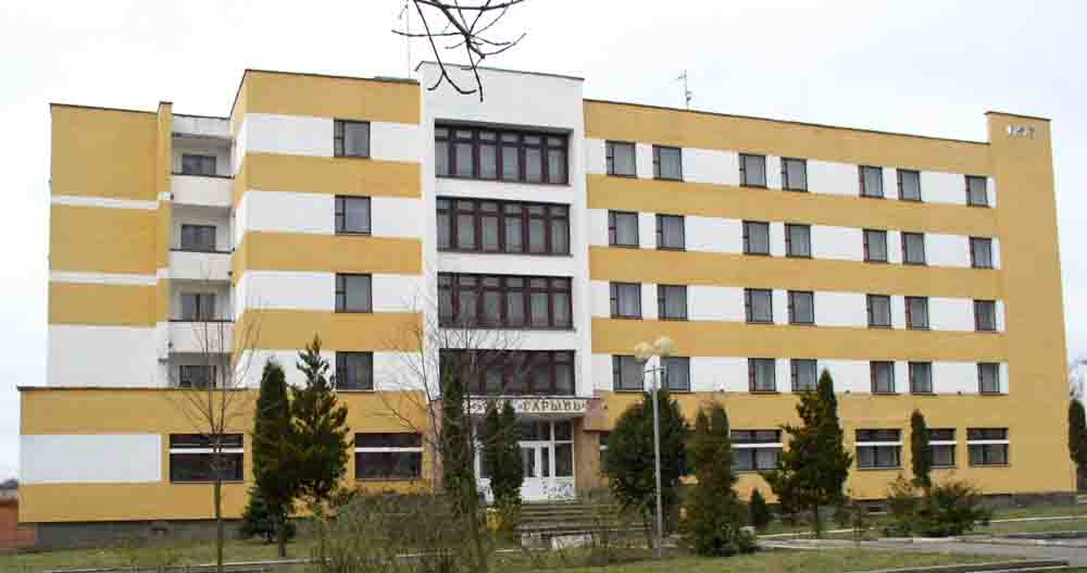
The hospital in the eastern part of the town | |
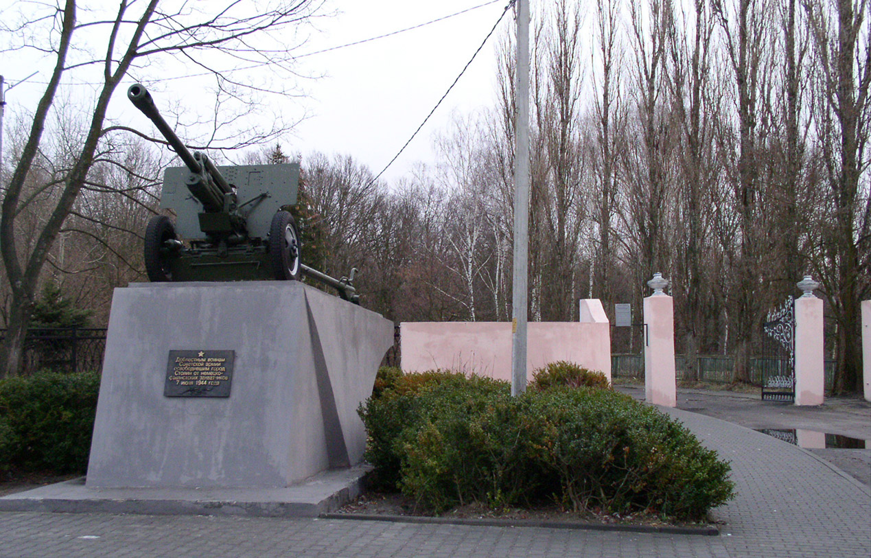 |
The entrance to the old park of Mankovichy, the former summer residence of the Radziwill's family, is at the end of the Sovietskaya Street. A war memorial in the shape of the Soviet gun commemorates the liberation of the town in July 1944 | |
 |
This park alley saw better times. Once it was leading to a flamboyant palace, a residence and pride of the Radziwill family. It was standing high up in this old park on the steep river bank, overlooking a wide river-plain. Unfortunately, this palace was destroyed at WW2, only the stretch of the road paved with "trylinka" (seen in the picture) once was leading to the building. The ever first car that appeared in Stolin belonged to the owners of that estate. To enable pleasant drives around the town and trips to the nearest railway station of Goryn (5 km west of Stolin), some roads were paved in Stolin in the 1930s. Even today they are in use. | |
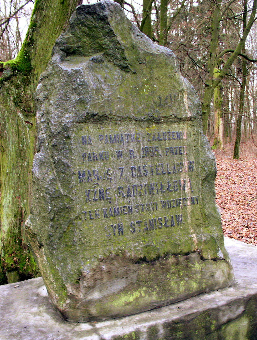 |
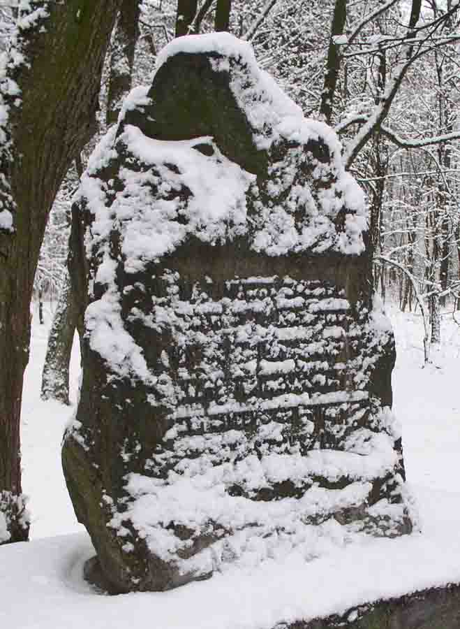
the foundation stone of the park, that was laid out in 1885 | |
 |
this landmark in winter looks enchanted | |
 |
old trees of the park enhance the view of the fairy-tale | |
 |
winter fairy-tale of the park | |
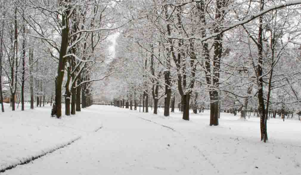 |
the central park alley in winter | |
 |
the local museum is today in the house, in the centre of the park | |
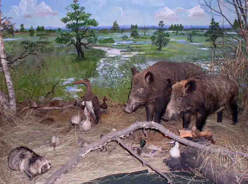 |
Museum's wonderful presentation of the local flora and fauna | |
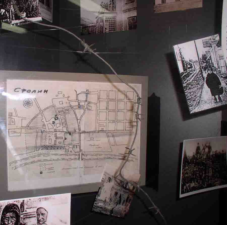 |
Many exhibits are quite silent, yet they can narrate about horrors in the Nazi occupied Stolin | |
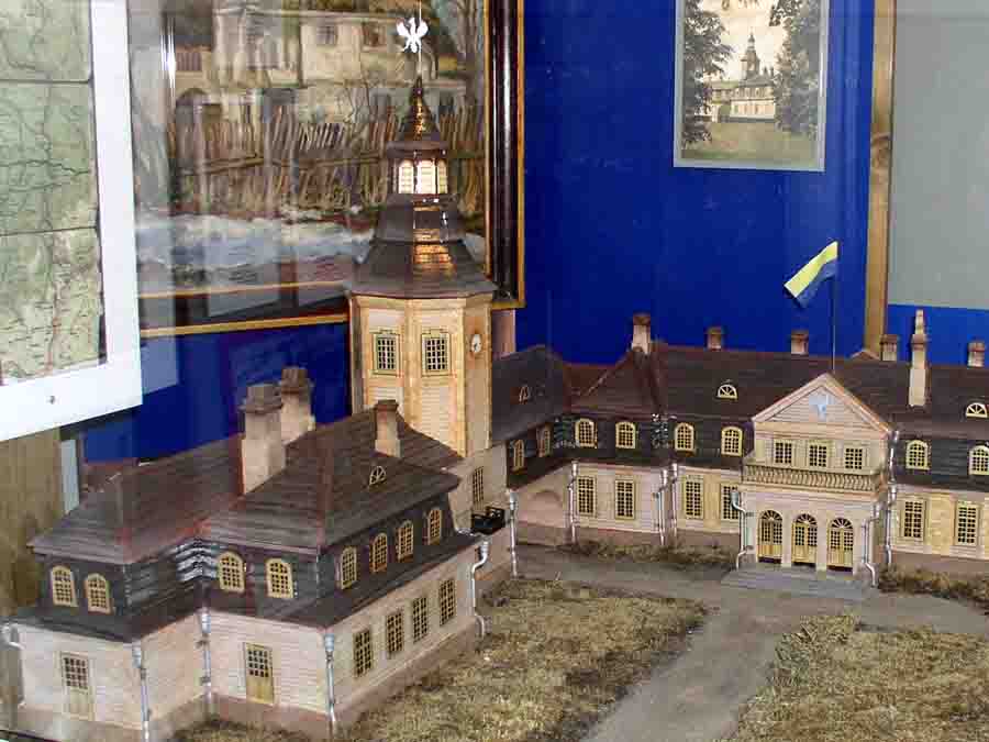 |
Today, a detailed scale model in the museum offers a vivid impression of the grand palace that was destroyed during the war. | |
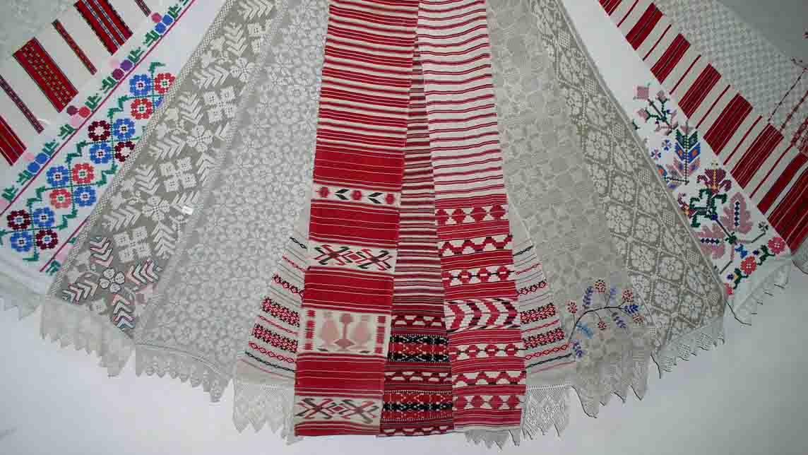 |
The array of linen towels, displayed in the museum, look joyful! | |
 |
the former blacksmith's shop of the town was standing till 2008. | |
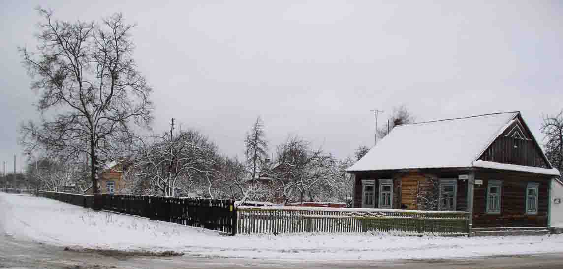 |
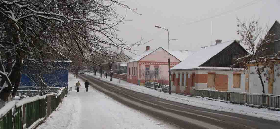
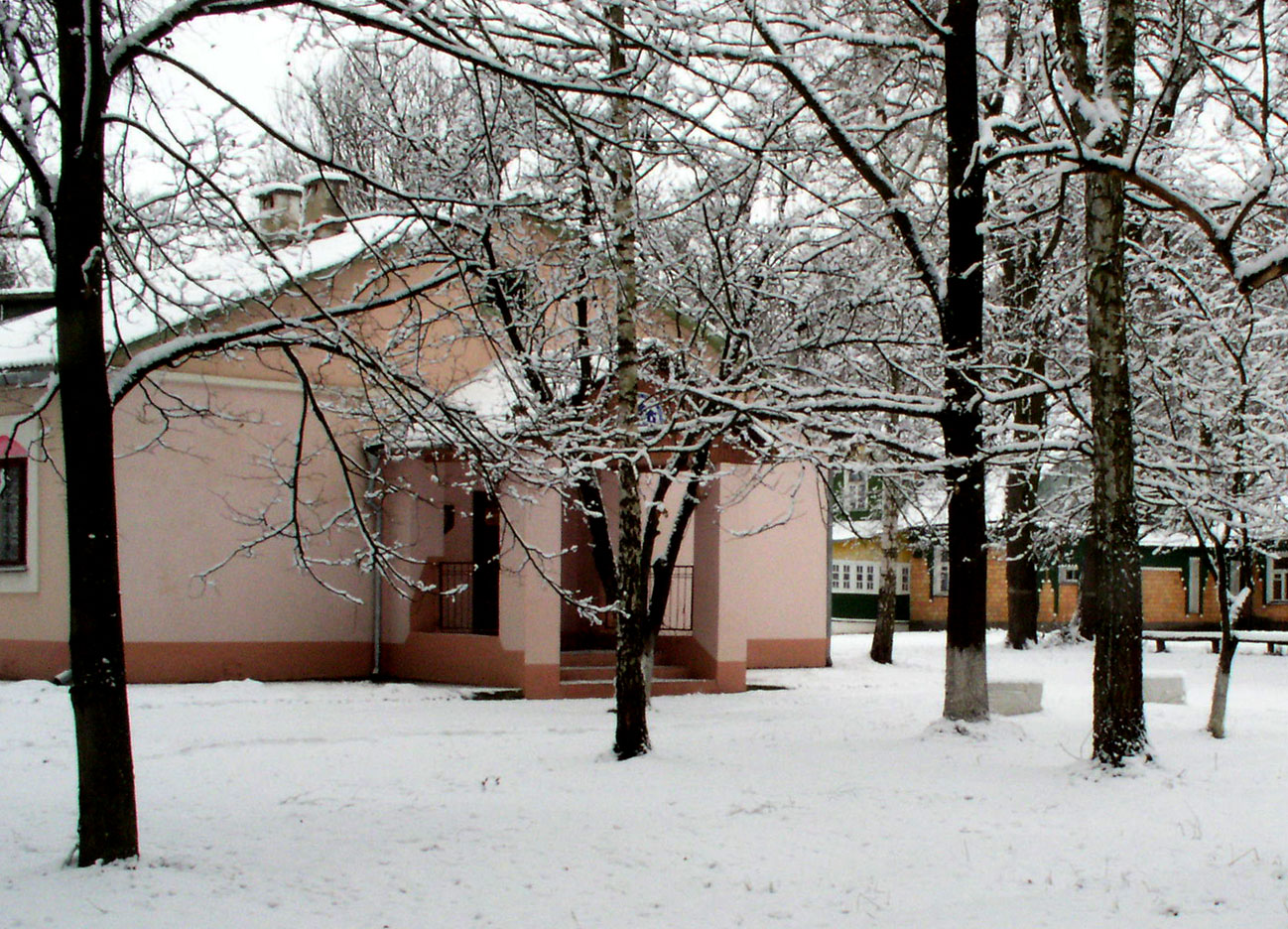
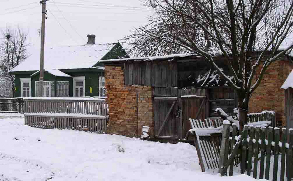
straight and long streets of Stolin look lonely in winter | |
