pic forheaser BrestRegion

Kobrin

Kobrin gerb


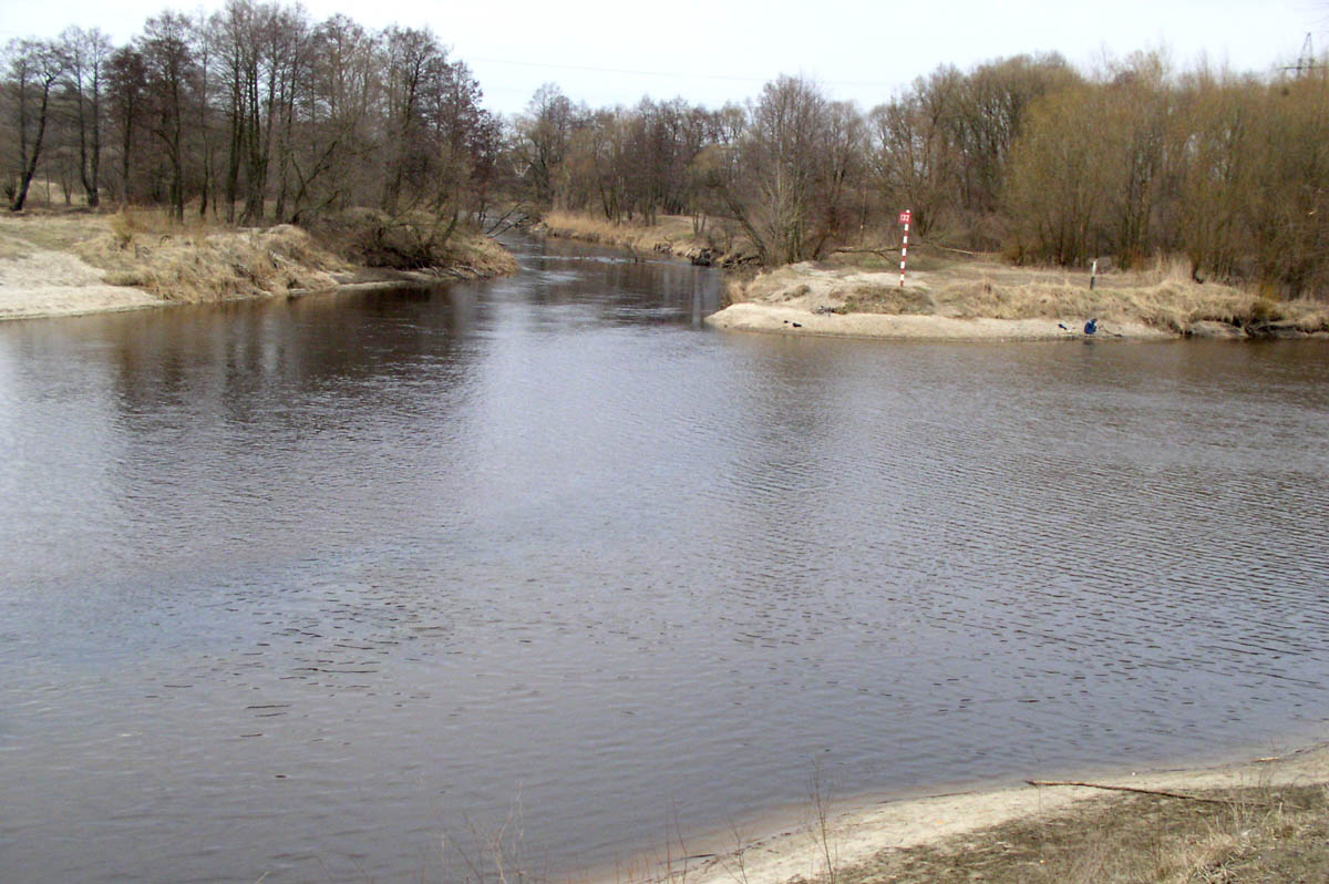
That is a town in the Brest Region (oblast), the capital of the Kobryn District (Rayon). The town is located in the southwestern part of Belarus where the Mukhavets River and the Dnieper-Bug Canal meet, about 52 km east of the city of Brest along highway "Brest- Moscow". It is a station on the Brest - Gomel railway line. As of 1995, the population was around 51 thousand.

Historic background


It was first mentioned  in the old Russian chronicles in the late 13th century. That was a favorable place at the start of portage that finished near Pinsk, as the boats full of merchandise were dragged overland from the Mukhavets River to the Pina River to reach Pinsk, about 90 km east of Kobrin.  That was an important trading route between the Baltic Sea and Black see in those days.

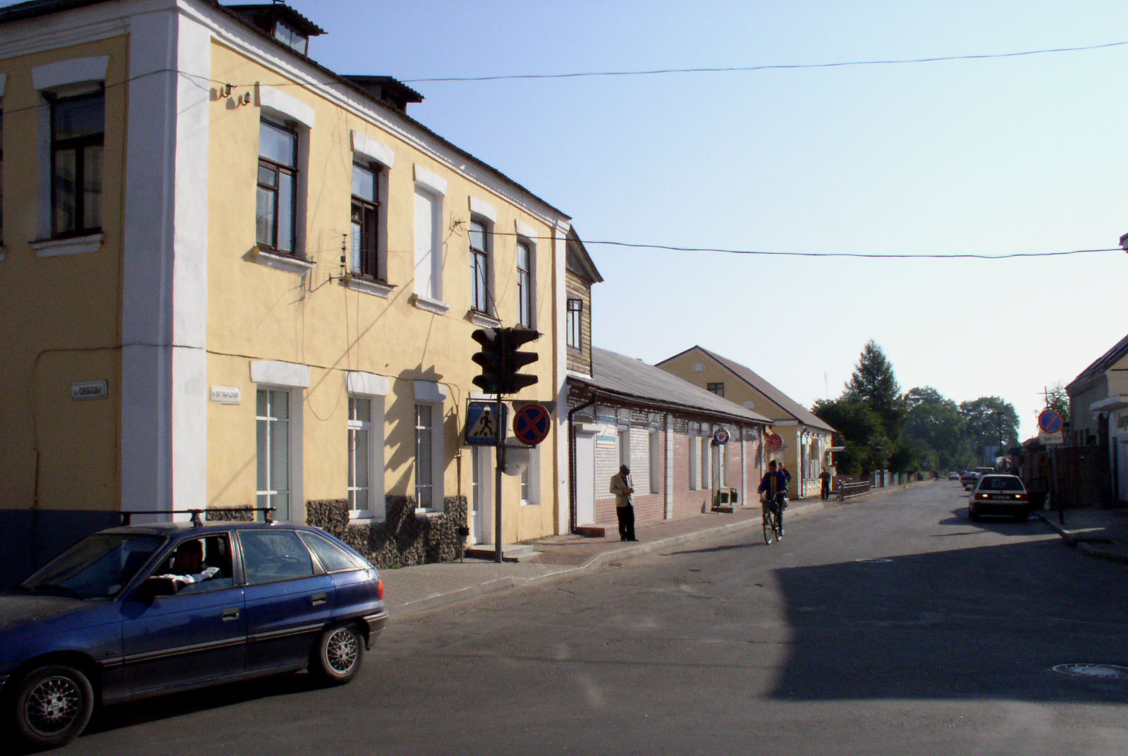
Soon afterwards, in the early 14th century the town was subdued by the Grand Duchy of Lithuania. Between 1589 and 1766 it was a thriving market and a free town of the Polish-Lithuanian Commonwealth open for all the tradesmen coming from many countries, including Jews. A road from Brest to Pinsk and further on to Minsk was running across the town, its hub that was the marketplace. Hence the old names of the streets on this way: Brest Street before the market place and Pinsker Street after it.
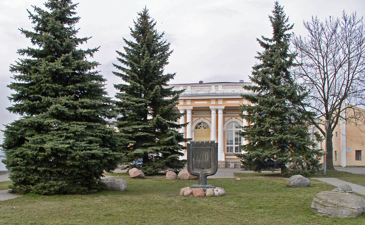
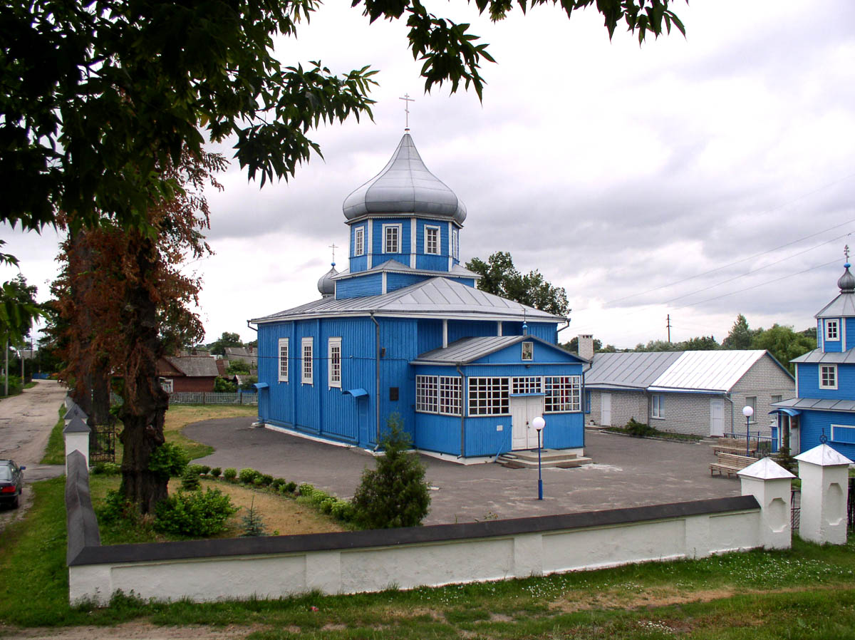
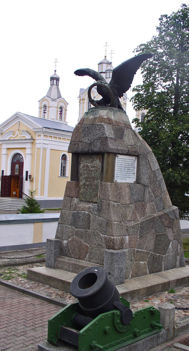
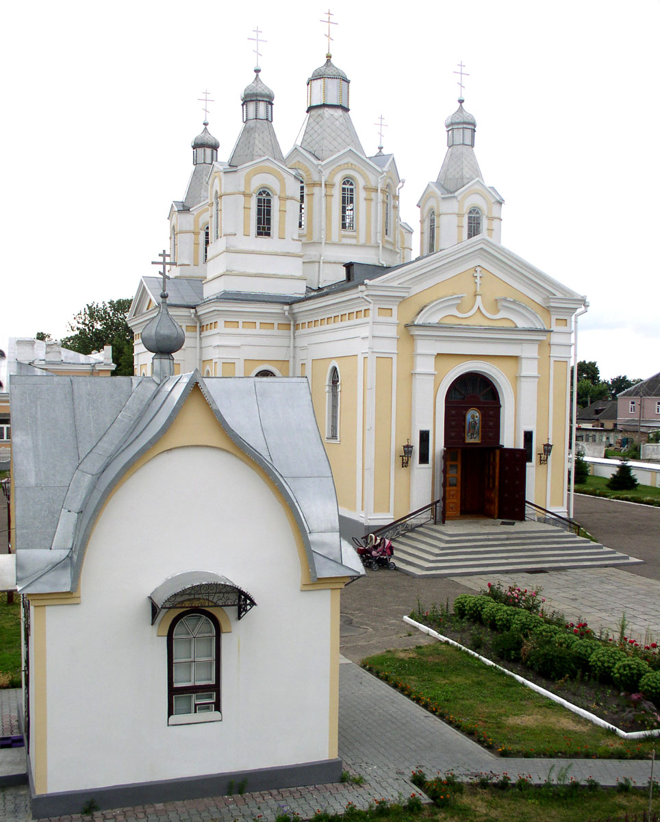
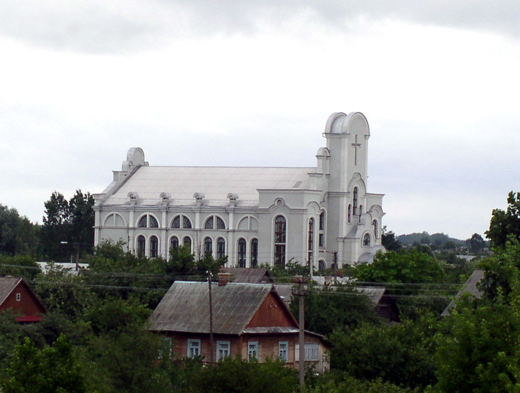
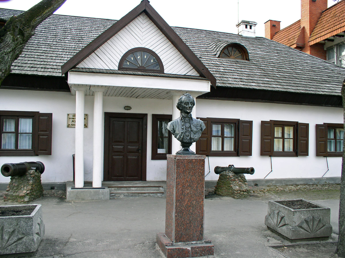
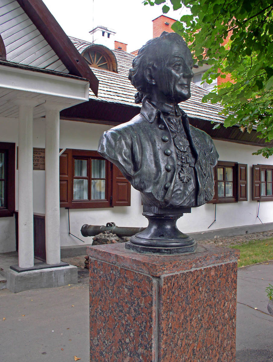
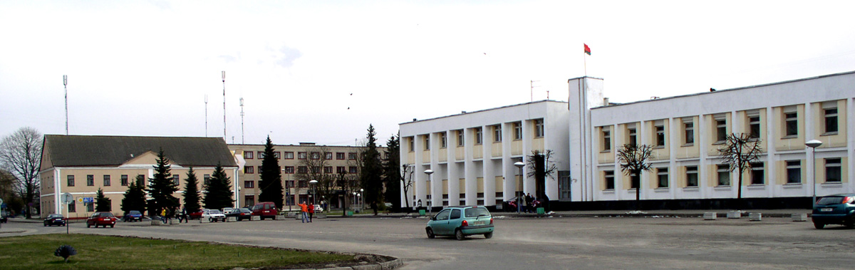
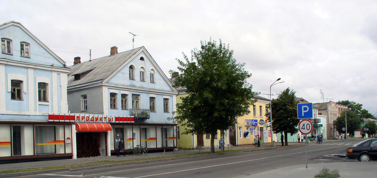
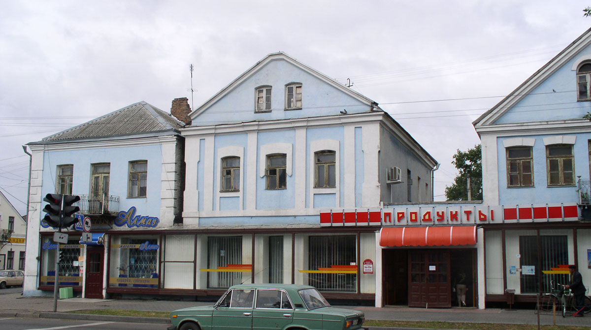
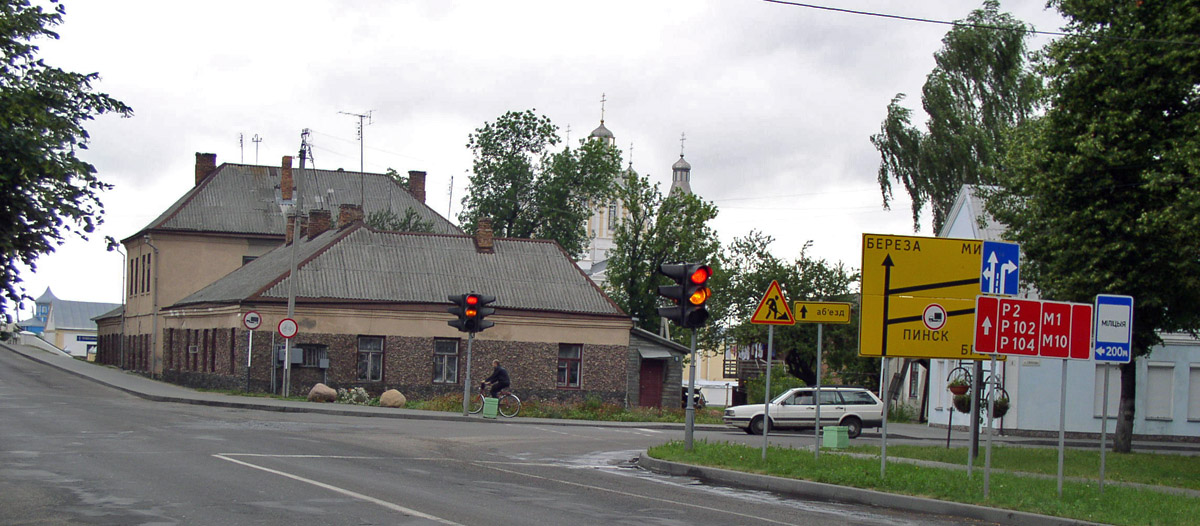
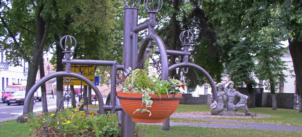
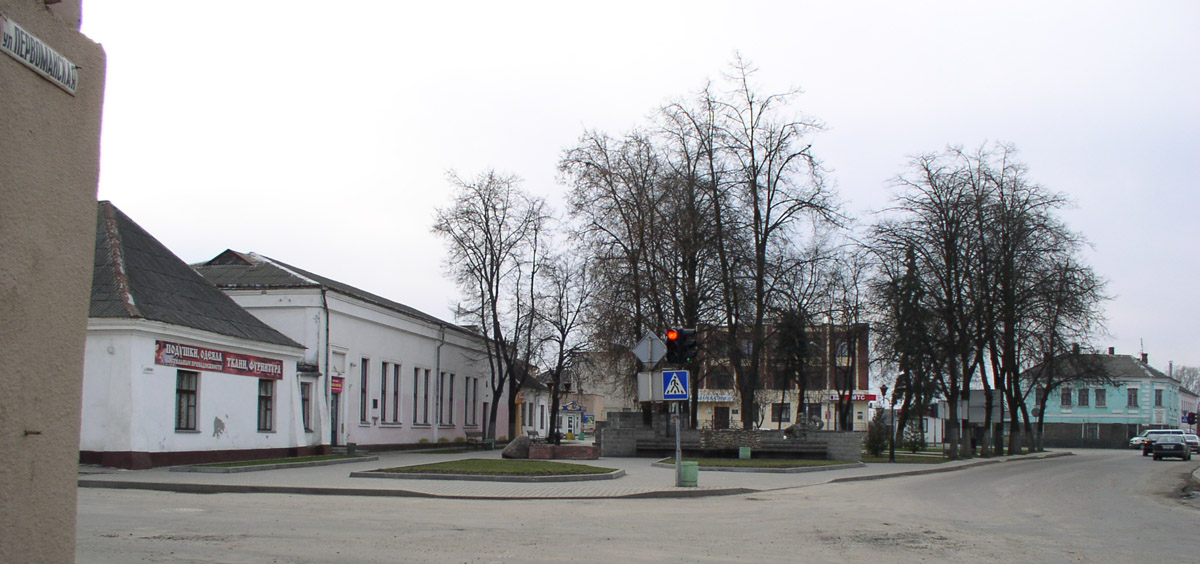
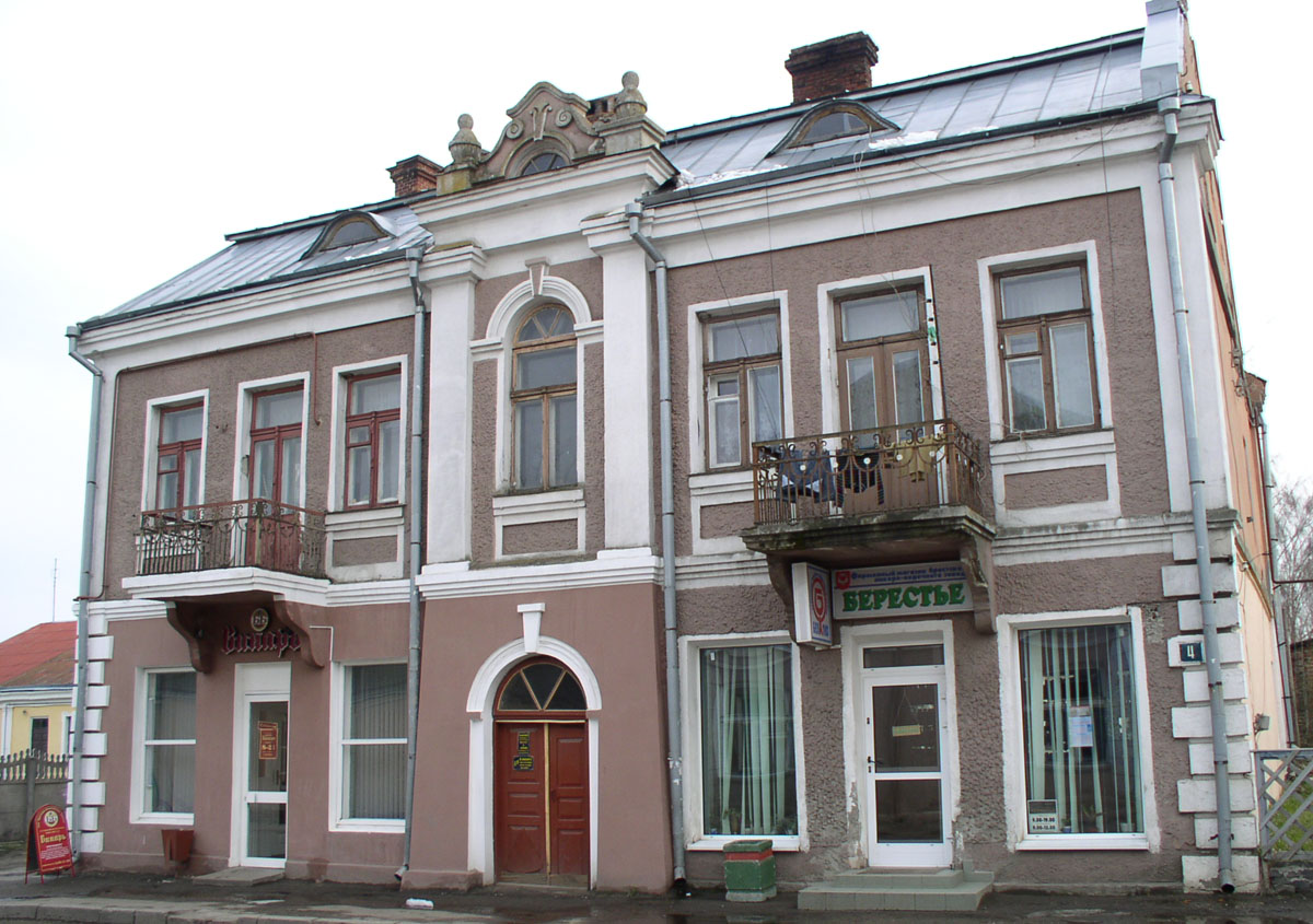
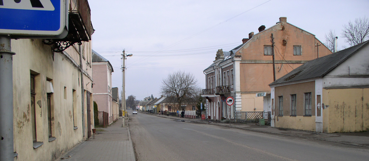
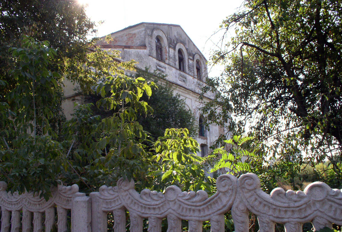
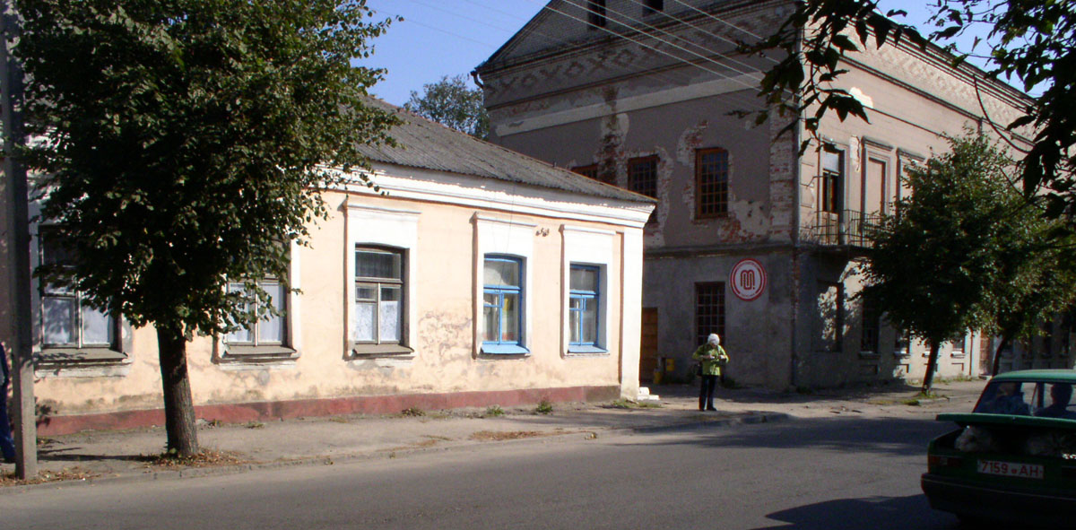
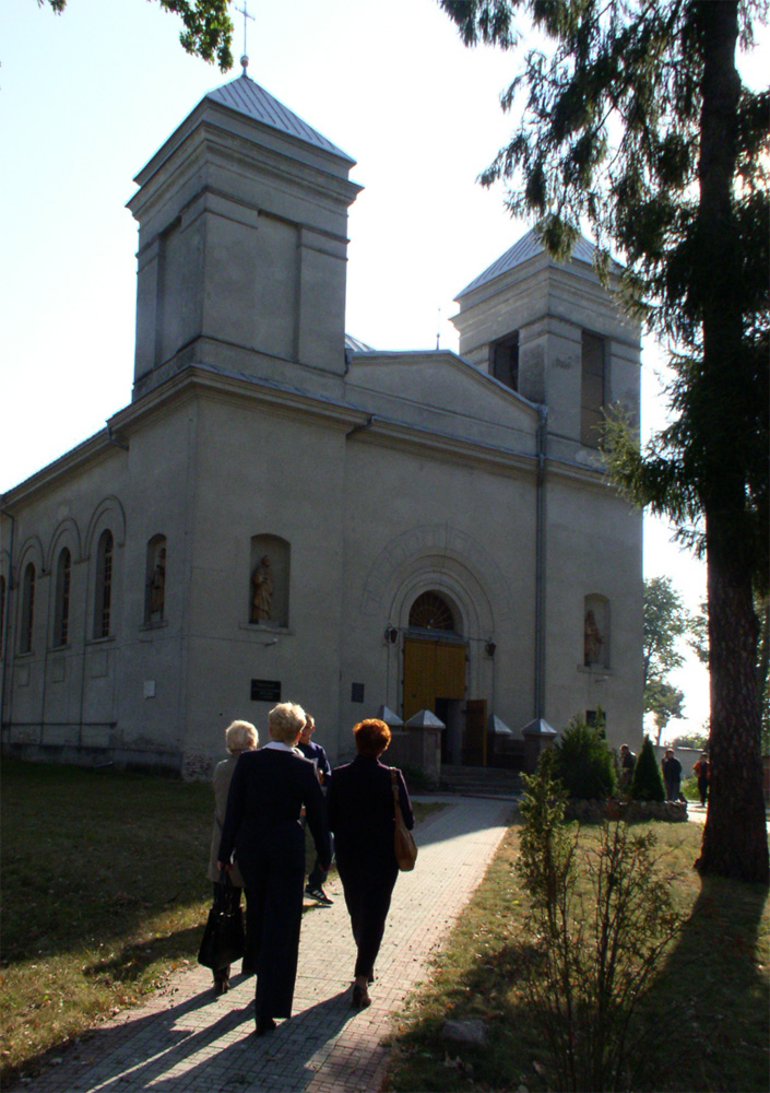
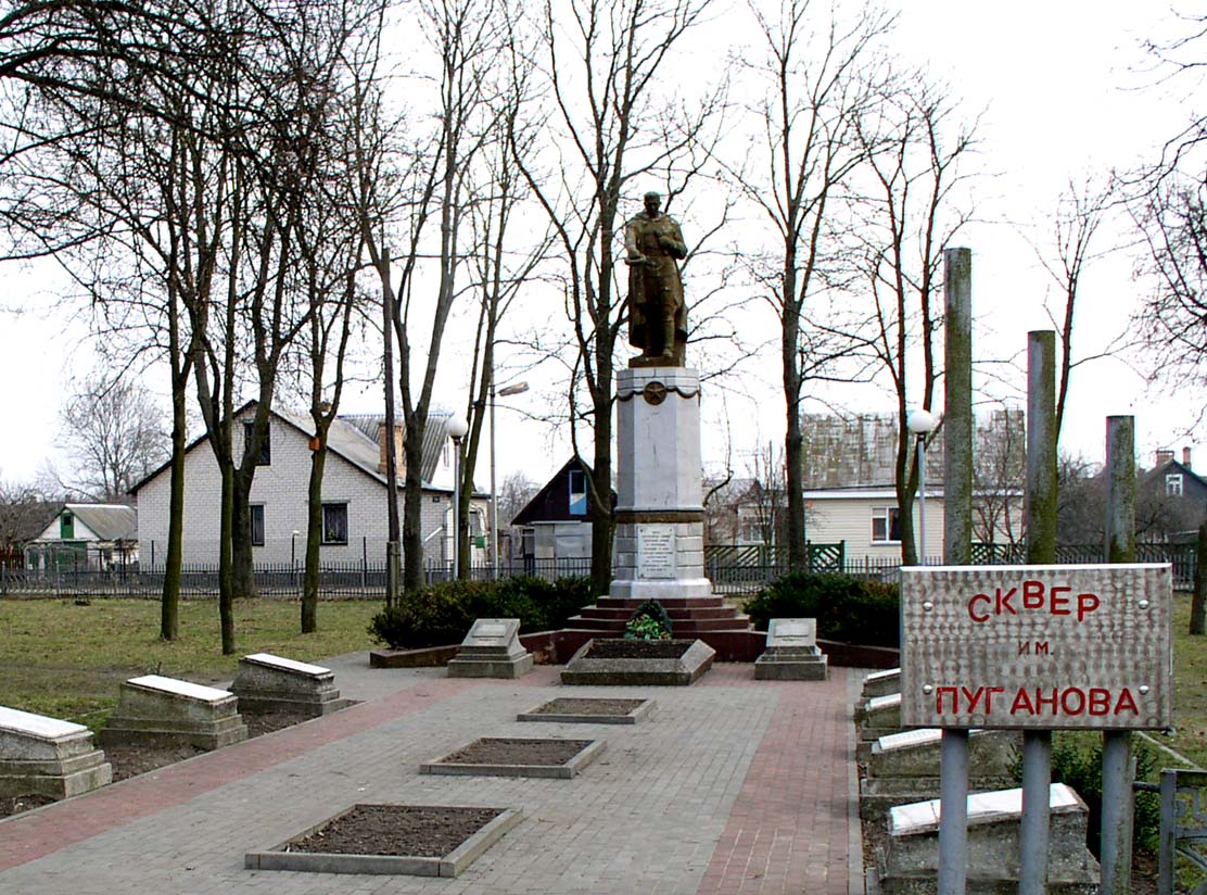
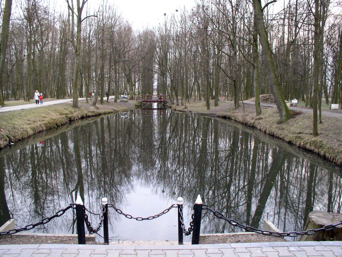
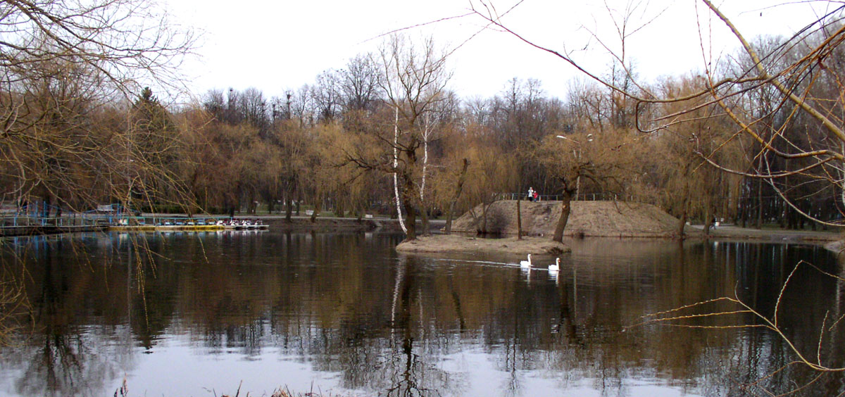
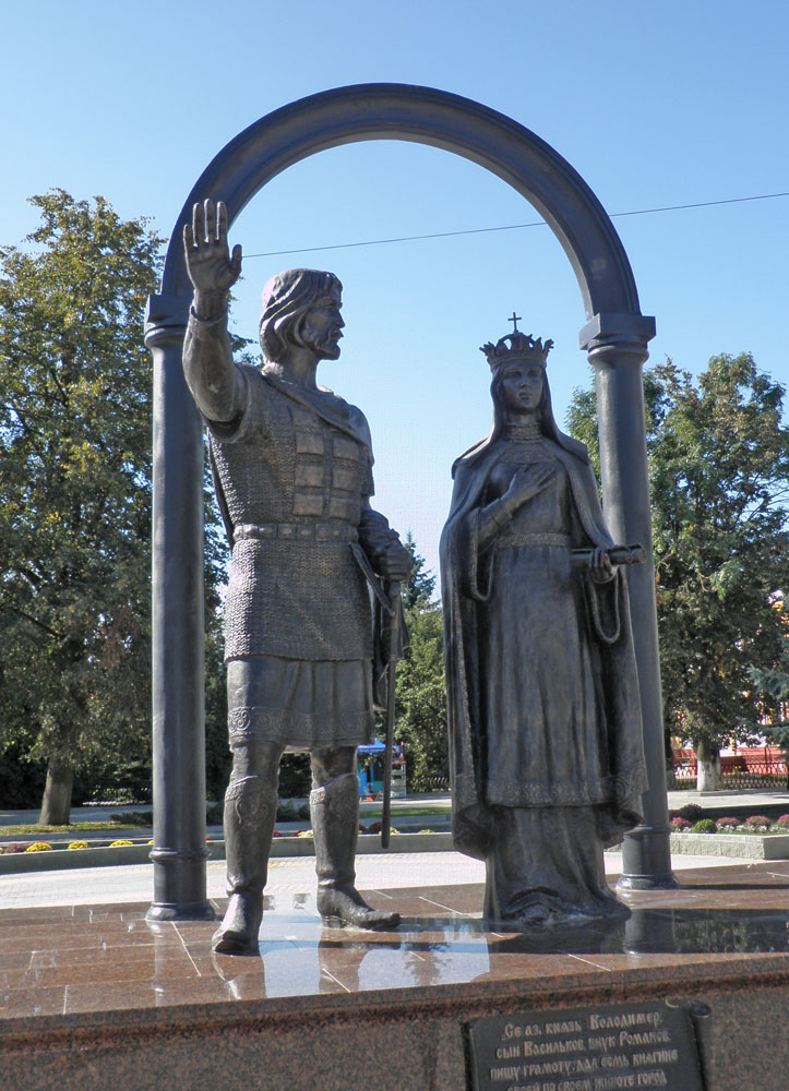
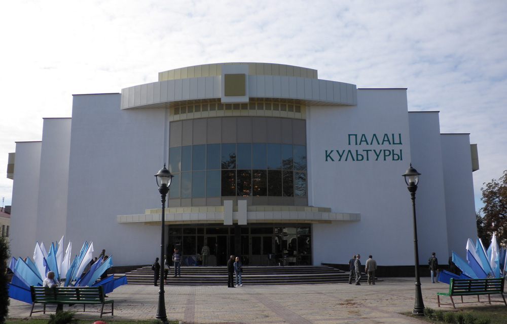
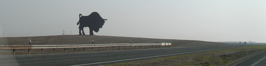
Kobrin Today


In 2009 the old town underwent reconstruction to host the National Harvest Festival (dozhynki).

The pictures below were taken in 2005-2008, before the reconstruction.

Zamkovaya Square
The name of the Square indicates that once it was in the former upper castle.

Orthodox St. Nicola's Church by the river.

1812 War memorial commemorates a Russian victory over Napoleon's troops by Kobrin

This Orthodox Church is named after Saint Alexander Nevsky

Svobody Square with the memorial commemorating the 40th anniversary of the town's liberation in Yuly 1944.

The Baptist Church of Kobrin viewed across the river.

The old part of the town (near Oktyabrskaya Str.)

A.Suvorov museum

A.Suvorov memorial bust in front of the museum named after him.

The new building of the Historical Museum.

Lenin Square

Lenin Street by the former Market Square)

The former Market Square (right) and Lenin Street leading up to the bridge (left).

Planters a la Kobrin! in the former Market Square.

Svobody (former Market) Square. Here starts Pervomayskaya Street (First of May) Street (former Pinsker Street) (ulica 3 Maja - Polish name).

The the east side of Pervomayskaya Street running parallel to the River near Svobody Sq.

An old mansion on the southern side of the street.

Here under the street is the Kobrinka River, that is not easy to spot today, because it is flowing under the road in the pipe. This place in the inter-war period in the black and white photo below.

The old building of the Great Synagogue of Kobrin.

Old houses on the northern side of the street.

The Roman Catholic Church on the southern side of the street.

The grave yard of the Roman Catholic Church in Kobrin.

Puganov War Memorial on the western side, there is the school built in Polish period and rebuilt in the Soviet period across the street . Today it is high school No2.
Old and new canals merge quite close from the school.

Here by Pervomayskaya Str. the old and new canals merge.

The old city park of Kobrin in spring

The lake with the island in the park

Kobrin after the reconstruction


3 glimpses of Kobrin after the reconstruction.


Click here to see more pictures of the sights and town streets after the reconstruction in 2009.

Links:


radzima.org (English)

brest-belarus.org (English)

Belarus Guide

A virtual tour around the city (English)

map of Kobrin at govorim.by (Russian)